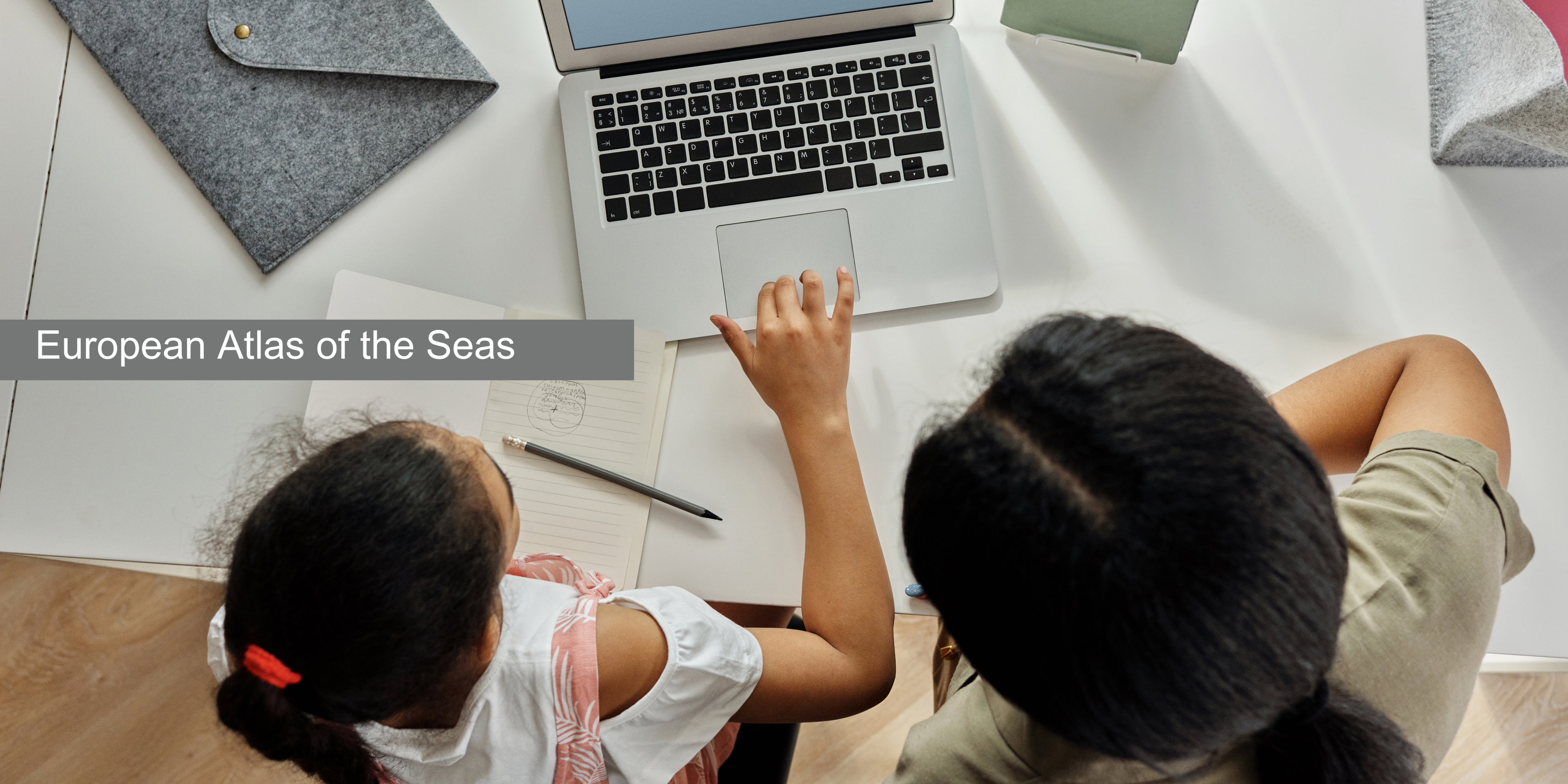

Welcome to the Teachers' Corner of the European Atlas of the Seas!
Looking for a user-friendly interactive map-based educational tool on the ocean? Dive into the European Atlas of the Seas and its Teachers' Corner!
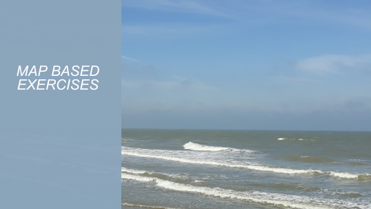
Next to presentations of the Atlas, posters and a few nice quizzes and games, you will find ready to use map-based exercises for different age groups. Feel free to use them in your classroom!
Visit the EMODnet Virtual Exhibition!
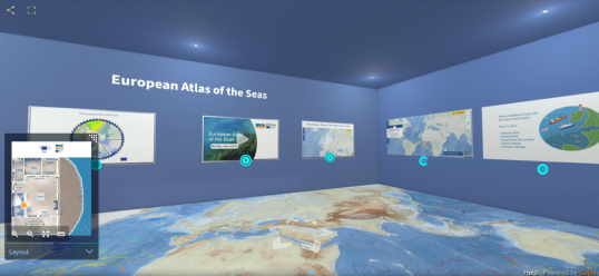
- Explore the information included in the Atlas space of the exhibition;
- Learn about the European Marine Observation and Data Network (EMODnet);
- Have a look at the poster gallery!
To understand what we can do better to protect the health of the ocean, it is essential that we learn how the ocean influences us and how we influence the ocean.
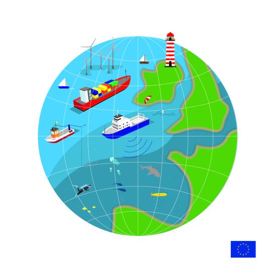
The European Atlas of the Seas is a publicly accessible web-based tool, providing interactive and diversified information in a comprehensive way to a broad public. It is composed of a collection of maps with reliable data on natural and socio-economic features in the coastal regions of Europe. The data come primarily from the European Commission and its agencies (i.e. Eurostat, European Environment Agency, ...) and from the European Marine Observation and Data Network (EMODnet).
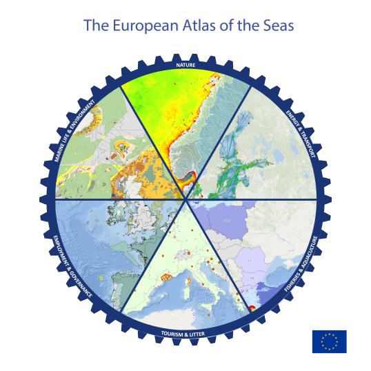
The European Atlas of the Seas offers an ocean of information in a user-friendly way about topics such as nature, tourism, security, energy, litter, coastal erosion, vessel density, passenger transport, sea bottom, sea level rise, fish consumption, and much, much more! It includes more than 270 map layers.
Use the Atlas to explore and compose your own maps! Select different map layers, zoom in into your area of interest (e.g., a sea basin, a country...), measure distances and areas and export your customised map or print it for later use. Use the My Maps tool to create your own working space in the Atlas!
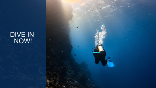
Dive in the Atlas and start exploring the possibilities to enhance your lessons in an interactive way!
The Teachers' Corner aims to provide a platform where teachers can find exercises by age group on a wide range of marine topics. By using the Atlas, students can develop a multitude of competencies such as:
- reading, understanding, and interacting with a map;
- reading and understanding graphic information;
- creating a map using different map layers;
- measuring distances on maps;
- searching for information online and summarizing findings;
- working in different languages.
The Atlas can be used in the classroom to expand knowledge of ocean science, geography, earth science, ecology, conservation, climate change, economics, and sustainable development. It can also support cross-curricular activities and school projects. Click on the age groups to see the exercises.

Do not hesitate to contact the Atlas team using the 'Give feedback' form in the Atlas with your questions, feedback and remarks that will help us improve the tool.
Launch and start exploring the Atlas
Check out the Maps of the Week!
See the latest workshop presentations
Watch the My Maps tool video tutorial
Watch the video tutorial on the measure tool