
Download posters for your classroom!
Below are the latest versions of the poster of the European Atlas of the Seas in English and in French.
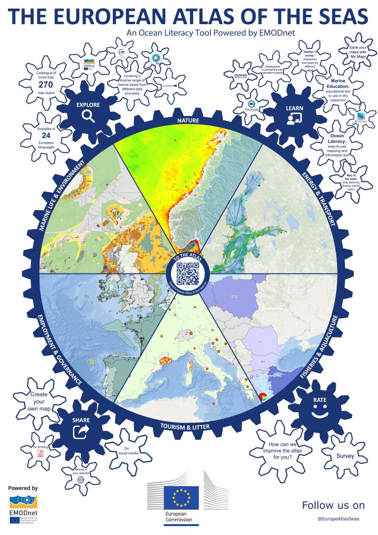
European Atlas of the Seas Poster (English)
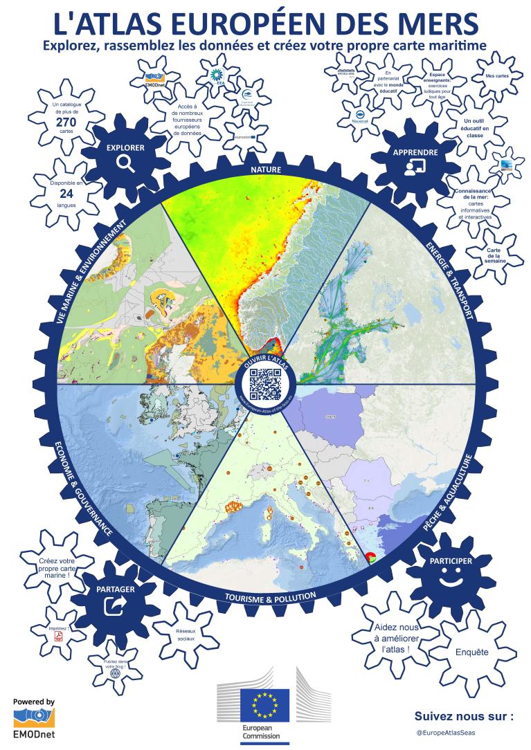
European Atlas of the Seas Poster (French)
Previous posters, created for the pop-in event at the launch of the new version of the Atlas in June 2018, remain available for download below.
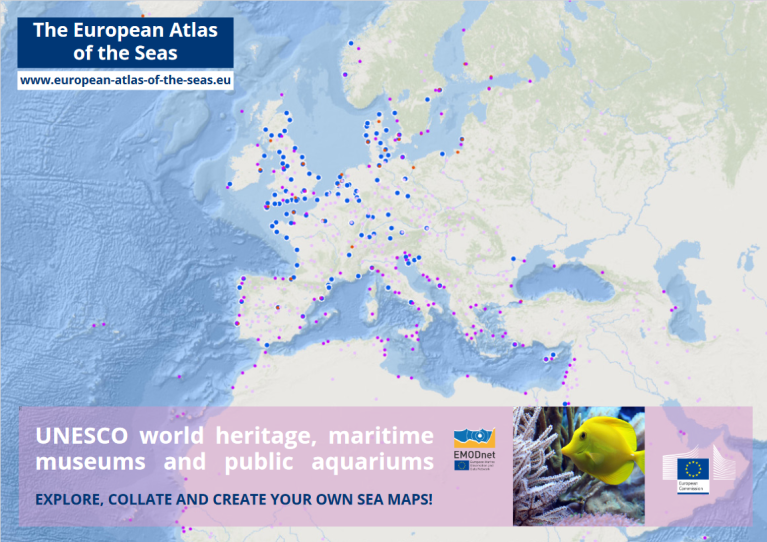
Poster tourism
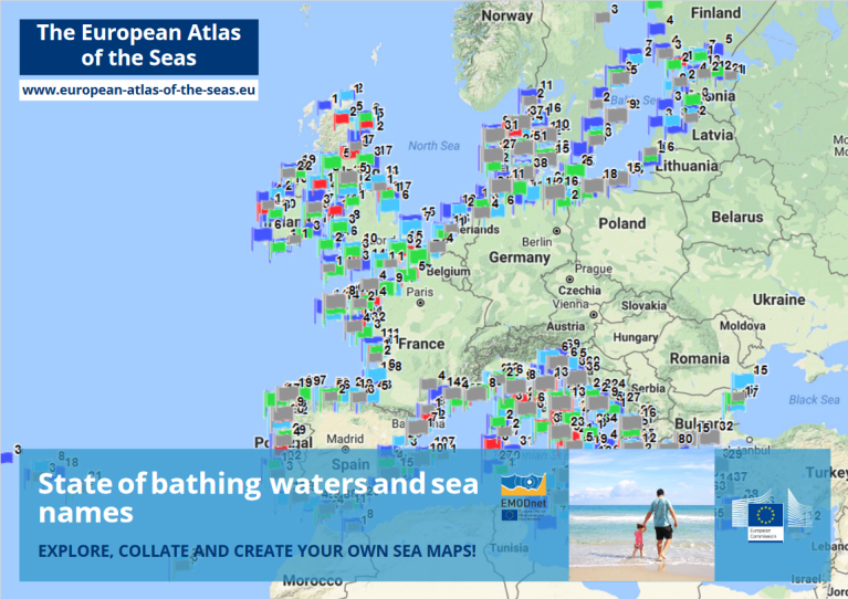
Poster bathing waters
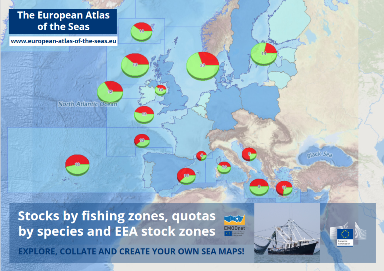
Poster fisheries