Bathymetry
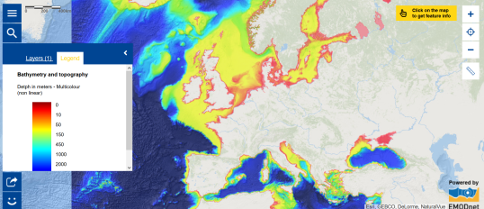
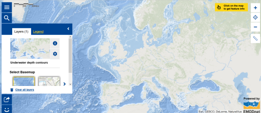
The bathymetry map shows the depth of the seas in multicolours. The underwater depth contours map is another way to show it.
- Which map is the easiest to understand? Why?
- Where are the deepest parts situated? How are they represented?
The sea bottom is not flat. There are canyons and elevations. Moreover, it is composed of different materials. In which maps do you find this?
Tectonic lines
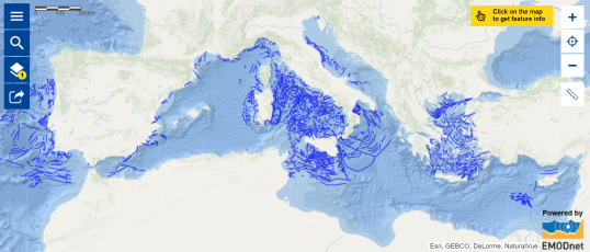
- Which map shows you the tectonic lines?
- In which area is the density high?
- Where do you find underwater volcanoes? Which map do you need to consult to find them?
Give 2 examples... - Which natural disaster occurs when tectonic plates shift?


