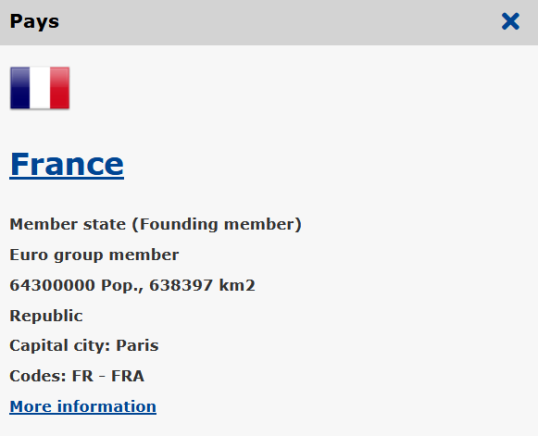
The European Atlas of the Seas can be used for children to explore and learn about the countries of the European Union in an interactive way.
Let children learn about the countries of the European Union in an fun way. Click on a country to see the name of the country, the population, the capital ... The link provided brings you to the Europa page with more information on the country concerned. Draw up or complete a list of Member States with their capital.
Use the country borders map as a blind map for children to practise and recognise the countries.

