This event has ended.
- common fisheries policy | sustainable fisheries | fisheries policy
- Monday 11 April 2016, 00:00 (CEST)
Practical information
- When
- Monday 11 April 2016, 00:00 (CEST)
- Languages
- English
Description
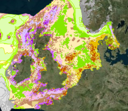
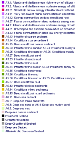
Three sets of estimates were used. each using EMODnet's seabed habitat maps
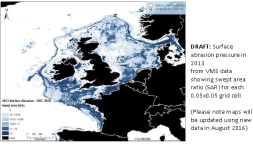
- COGEA and JNCC used maps of fishing density obtained from ICES who had used fishing vessel positions obtained from Vessel Monitoring System (VMS) records
- And JRC used records from ships' Automatic Identification System (AIS)
The results do give some idea of the pressure on each habitat type but should not be considered a definitive answer because:
- they were performed very quickly in response to an urgent question from the Commission services. Further analysis and checking would certainly provide deeper insights.
- pressure from smaller vessels that do not carry AIS or VMS was not counted
- the high, medium or low fishing levels to indicate relative fishing intensity were selected by each team individually to provide an indication of pressure. They do not correspond to any identified level of damage to the habitat.
Nevertheless, habitats do not respect national borders. It was extremely useful to have freely available habitat maps that use common classifications for all European waters
A workshop on 31 May and 1 June at ICES will follow up this work


