- common fisheries policy | sustainable fisheries | fisheries policy
- Monday 28 June 2010, 13:00 (CEST)
Practical information
- When
- Monday 28 June 2010, 13:00 (CEST)
- Languages
- English
Description
Conference 13.00-1400
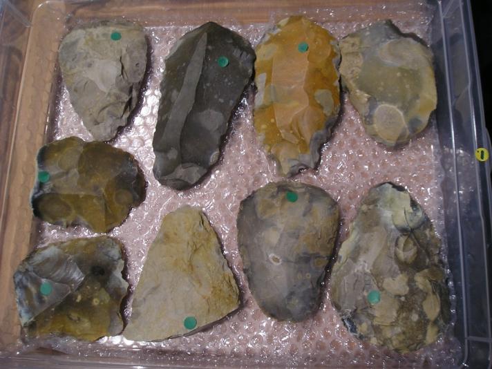
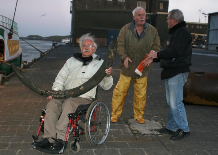
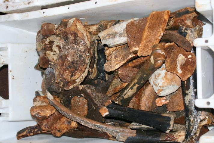
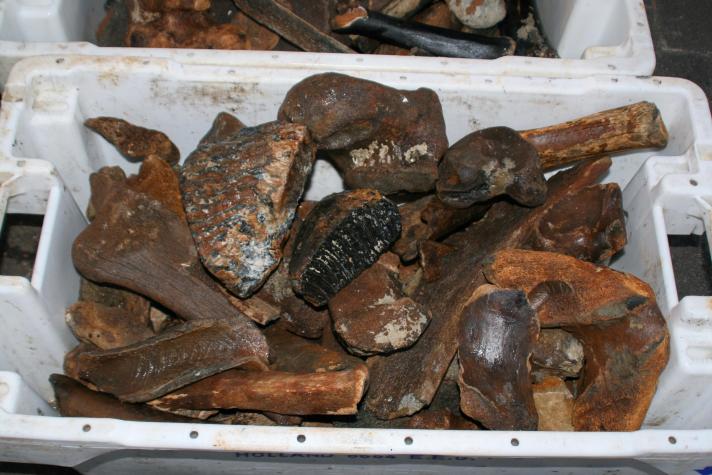
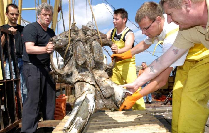
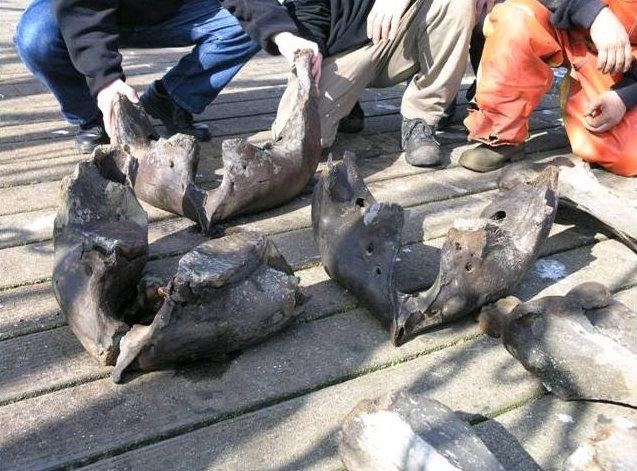
The researchers will be available in the afternoon for further discussion and to show some of the artefacts and other objects found beneath the sea
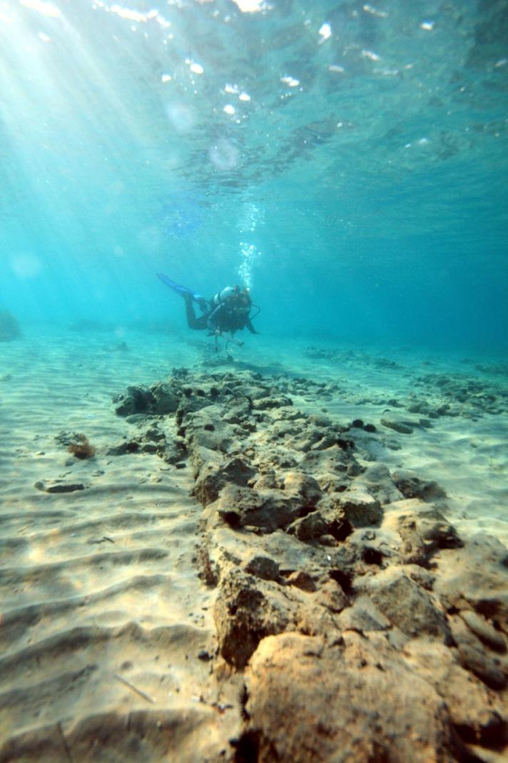
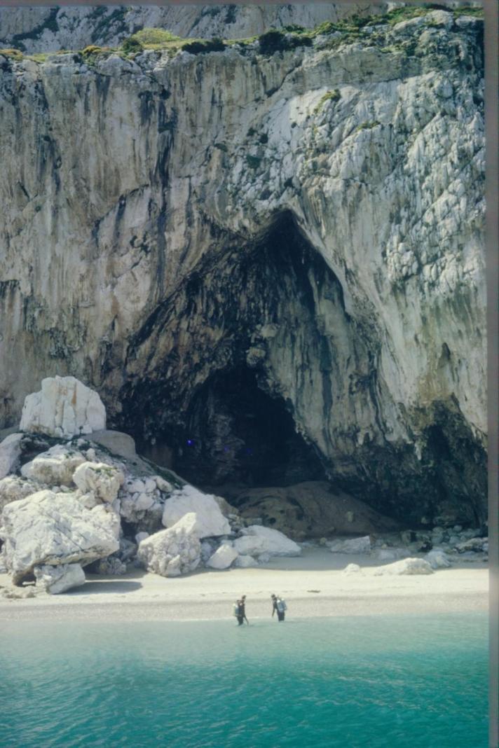
The sea has already risen by an average of 135 metres since the end of the last ice age 20000 years ago. Shell middens testify to the fact that humans have always found a good living by the sea-shore and over 3000 submerged prehistoric human occupation sites are now known and mapped on the European continental shelf, from the shoreline out to a depth of 145m. Submerged human occupation sites are known and studied from the Baltic, North Sea, Channel, French Atlantic coast, Gibraltar, Spanish Mediterranean coast, French south coast, Italy, Slovenia, Greece (Ionian and Aegean coasts), Turkey, Israel, and Bulgaria. These rich archaeological and cultural sites can be irredeemably lost by increasing offshore activity – fishing, drilling, construction.
Mapping these submerged landscapes would help maintain the European cultural identity, create new opportunities for the small and medium enterprises that develop the tools and equipment to do this mapping, provide baselines in estimating ecological change and deliver economic benefits to those companies engaged in offshore activity that need to demonstrate that their activities are not harming our cultural heritage. Finally it will put present concerns about sea-level rise into perspective.
The group who are showing how they are tackling this issue are led by Dr Dimitris Sakellariou (Hellenic Centre for Marine Research) and represent a consortium of eminent marine geologists and marine archaeologists from all over Europe

