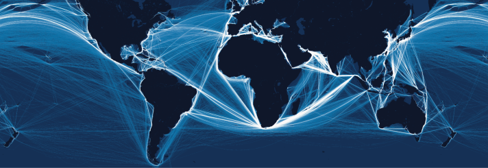
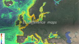
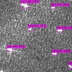
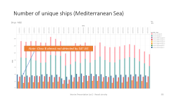
Halfway stage in a very interesting study to analyse, and potentially allow for, underestimation of vessel density in areas beyond 40 nautical miles of the coast that are derived from AIS sensors mounted on earth-orbiting satellites. Results are compared with those from coastal receivers, satellite images and (in the next phase) with the fisheries Vessel Monitoring System (VMS). Although there are differences between preliminary results in each European sea, a significant number of vessels equipped with Class A transponders and almost all with Class B are not seen by the satellites.
How accurate are maps of vessel density derived from AIS signals picked up by satellites?
very interesting preliminary results


