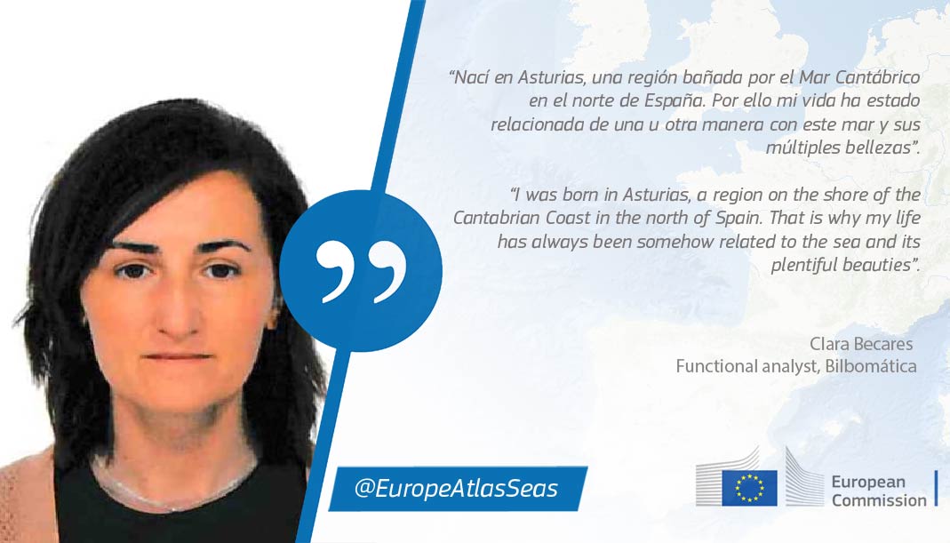
Clara is a Geodesy and Cartography Engineer with more than 14 years of professional experience in the analysis, development and implementation of Geographic Information Systems (GIS) based on different technologies and on information systems dedicated to data collection, data quality analysis and validation and management of large data sets.
The European Atlas of the Seas is a dynamic tool that is constantly evolving with the addition of new maps, updates of existing maps, new features and improvements to facilitate the use of the Atlas. Bilbomática is responsible for these technical developments. What is your role and what do you like most about the work that you do?
I am the technical leader of the Atlas. What I like the most about this job is to be able to spread very useful information to the general public, especially if it can be used in schools to teach students in a very practical way.
What competences and skills are needed to develop map layers in the Atlas and make them available to everyone online? If students are interested in your field of work, what should they study?
You need computer and geographical skills.
If someone is interested in this field, they should study Computer Engineering or Cartography Engineering.
Do you have any advice you would like to share with readers on how to make the best use of the Atlas?
I think that they can make the best use of the Atlas if they understand how it works. So, my advice is to first check our section “Do you need help?” accessible via the Atlas’ menu and also the video tutorial.
What is your favorite map in the Atlas? Why?
My favorite map is a predefined map called ‘Nature’. This map shows all relevant information about rivers, lakes, submarine volcanoes, tectonic lines and tidal amplitude. I find it very interesting because it gives a lot of information in a simple way and at a glance.
Thank you, Clara!
