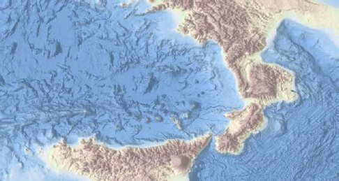
The final output of the EMODnet Bathymetry project will consist of a dedicated portal that will provide access by browsing and downloading to a harmonised medium resolution bathymetry Digital Terrain Model (DTM with grid size 1/8 minute * 1/8 minute) of all sea basins in European waters and access by discovery and shopping process to all underlying and assembled bathymetric survey data sets in a uniform way. The open and restricted bathymetric survey data sets originate from hydrographic and research organisations in Europe and are used as input for generating the EMODnet DTM product. Agreed standards and common vocabularies have been adopted for data, data product and metadata formats. The portal follows INSPIRE and OGC standards for providing discovery, viewing, downloading and wider interoperability services.
This interim report gives the progress in the 1st year of the EMODnet Bathymetry contract which is defined as running from 1st June 2013 - 31 August 2014 for contractual and practical reasons. The project is a follow-up of the earlier developments for the EMODnet Hydrography and EMODnet Seabed Mapping projects which have taken place since June 2009 and that have resulted in the portal: http://www.emodnet-bathymetry.eu
The EMODNet Bathymetry project aims at a continuation of services, at an extension by including a full European coverage of sea basins, and at a refinement by upscaling the resolution of the DTM from % minute * % minute to 1/8 minute * 1/8 minute.

