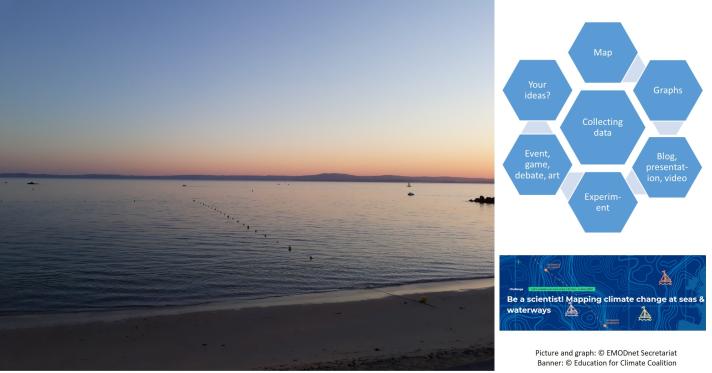
Objective of the challenge
The European Atlas of the Seas, an initiative of the European Commission, includes more than 275 map layers on a wide range of marine and maritime topics that are freely available online for everyone to learn more about the ocean, seas and coasts. The maps in the Atlas are developed using data from several data providers including, amongst others, the European Marine Observation and Data Network (EMODnet), the European Commission Directorate General for Maritime Affairs and Fisheries, Eurostat, the European Environmental Agency and Copernicus Marine Service. Until now, teachers and students have been able to access the maps and use them in school work. With this challenge, organised by the Education for Climate Coalition and the European Atlas of the Seas, schools can become the data providers for a new map that will be published in the Atlas in the spring of 2023. By doing so, students can discover how maps in the Atlas are developed and they can learn the specifics about each step in the process (data collection, data harmonization, data visualization and communication related to the new map).
What are the different phases of the challenge and how can schools contribute?
The challenge started before the summer 2022. It includes 6 phases. During the first two phases, teachers and students learned about the Atlas and how it works. Three topics were then suggested for the new map to be developed: precipitation, water transparency and water temperature. Teachers participating in the challenge voted for their preferred topics and, based on the results, it was decided that schools will measure surface water temperature at sea, in rivers, lakes or ponds.
All measurements can be communicated to the European Atlas of the Seas team by completing the dedicated online form in the KoboToolbox app. Schools can measure the surface water temperature in different locations and at different times. The more data the Atlas Team will receive, the more interesting the new map will be! All data must be submitted by 31 March 2023.
The Atlas team will use the data received to develop the new map that will be made publicly available in the European Atlas of the Seas. Teachers and students will then be able to use the new map in school work, games and projects.
Who can participate?
Classes with students from all age groups across Europe are invited to participate in the challenge whether they are located in a coastal region or in a landlocked country. It is not necessary to have participated in the first phases of the project to contribute to the challenge. Schools can participate at any time until 31 March 2023.
Details and information on how schools can participate in the challenge are available at: https://education-for-climate.ec.europa.eu/community/Atlas/topic/what-water-temperature-your-sea-river-lake-pond. You can also watch the recording of the online workshop organised on 7 September 2022 to learn more about the data collection process.
Looking forward to receiving data from schools across Europe!
Questions about the challenge can be addressed to nathalie [dot] van [dot] isacker emodnet [dot] eu (nathalie[dot]van[dot]isacker[at]emodnet[dot]eu).

