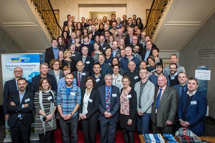
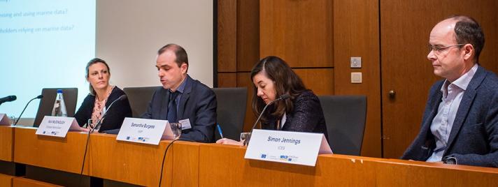
Although the presentations and discussion during the EMODnet stakeholder meeting and the subsequent steering committee meeting provided many new insights, the real benefit lies in the detailed reports produced by the stress test partnerships and their stakeholders. Those wishing to know the state of knowledge of invasive species in the Arctic, eutrophication in the Baltic or coastal erosion in the Mediterranean will find all the information they need there.
Nevertheless, there were also a number of general lessons that help us see what has worked and what has not worked, that allow us to take stock of how far we are from reaching the objectives set by Marine Knowledge 2020 and that can guide future actions:
- The stress tests have been a unique and timely evaluation of the state of Europe’s marine data. In many cases, for instance the IUCN’s database of invasive species, there are considerable differences between what a web-site claims is available to what in fact is the case.
- On the positive side
- EMODnet and the Copernicus marine service have brought real benefits. They are now the first port of call when looking for many types of marine information. National hydrographic agencies, geological surveys and oceanographic data centres are committed to the initiative. The improvement in storm surge monitoring is a classic vindication of the “collect once, use many times” principle.
- The regional sea conventions and ICES share the EU’s marine knowledge objectives and have contributed to meeting them. The renewed EMODnet partnerships will work even closer with them in order to improve efficiency.
- At a global level, EMODnet contributes significantly to GEBCO for bathymetry and OBIS for marine life.
- Particularly in the Mediterranean, EU research projects had compiled valuable datasets.
- But
- Many data still remain hidden, poorly organised and beyond the reach of researchers or engineers. Metadata such as ownership or measurement date are often missing. In the majority of cases the stress tests were unable to identify future priorities for monitoring, other than perhaps a benthic survey, because they were unable to determine whether data in a particular area existed but could not be found or whether nobody had made measurements there.
- Access to fisheries data for purposes other than scientific advice to fisheries; for instance impact on species caught as bycatch or bottom habitats; is extremely limited and not enough for a sound analysis.
- The lack of comprehensive shipping traffic density maps hampers spatial planning or impact assessment on a sea basin scale.
- Coastal data are a particular issue given that this is where people live and the majority of offshore activity takes place. In no sea basin was it possible to provide a complete picture of the flow of water, nutrients, sediments or migrating species from rivers or the rate of coastal erosion or sea-level rise.
- Spatial resolution of derived products for the seafloor such as topography, geological strata and habitats is often too coarse, despite, in some cases the existence of underlying survey data that is much finer. Reasons include concerns from national governments about penetration by enemy submarines and, in the case of geology, multiple national substrate classifications complicating thematic harmonisation.
- Europe's coastal HF Radar network is much sparser than that of the United States, This limits our knowledge of currents and tides.
- The price charged by national meteorological offices for wind data severely limits their use.
- In some cases, long-time-series, such as Greek fixed platforms , Italian wave buoy network and Russian observations in the Arctic have been discontinued because of budget cuts.
- Data reported to authorities in impact assessments, such as for the German wind farms, are unavailable for re-use despite their having no commercial value.
- The southern shore of the Mediterranean is still very poorly served. EMODnet partners indicated that they had had many contacts with institutes and agencies in northern Africa but had little success so far.
- Budget limitations mean that EMODnet has so far only been able to provide distribution maps of a limited number of species of marine life.
- However there are reasons to be cheerful:
- The new EMODnet partnership will gather, harmonise and disseminate data on marine litter and underwater noise. Records of water and nutrient outlet flow from rivers will also be included.
- The base resolution of the seabed map layers will shift from 7½ arc seconds to 3. And, where underlying data permit, higher resolution data will be disseminated.
- The new data ingestion facility greatly facilitates the transfer of data from completed research projects, impact assessments and industrial monitoring programmes to national or regional repositories for subsequent dissemination through EMODnet.
- The new partnership for EMODnet human activities will begin work on construction of ship density maps. A process to obtain the data from ships' Automatic Identification Systems on which these maps will be constructed has begun.
- A new Horizon2020 project to start in April 2017 aims to galvanise a more collaborative approach from institutes and authorities in north African countries.
- A new expert group representing users of marine data will begin to operate
- The next phase of EMODnet will aim to develop common standards with international efforts over and above those with GEBCO and OBIS.A preliminary meeting with officials from China's State Oceanic Administration will take place in March 2017.
- And we need to think about a follow-up:
- In the course of their work the stress test partnerships have developed a number of tools to advise on the whereabouts and suitability of data to solve particular problems. These could be useful for a wider use.
- Although some of the individual challenges could be rethought, it is difficult to think of a better way of highlighting gaps and identifying priorities.


