
The European Atlas of the Seas provides information about Europe’s marine environment. Users can view predefined and ready to use maps, covering topics such as environment, tourism, security, energy, transport, litter, sea bottom, fishing activity, aquaculture, and much more.
Users can also benefit from an enriched catalogue with more than 275 map layers, covering a wide range of topics, to explore, collate and create their own maps. These maps can be printed, shared and embedded in articles or presentations. The Atlas is the ideal tool for schools, researchers and professionals, or anyone wishing to know more about the European seas and its coastal areas.
Dive into the European Atlas of the Seas
Stay on board! Do not miss what is happening. Follow us on Twitter!
Each week, a new “Map of the week” highlighting an interesting map layer is showcased in the Maritime Forum. Dive in and explore your Ocean!
Teachers' corner
Are you a teacher or an educator interested in ocean literacy? The teachers’ corner of the European Atlas of the Seas contains exercises for different age groups as well as communication tools. It is an open platform where you can find and share information, educational material, inspirations and much more!
Discover our teaching resources
Visit the Atlas Overview and Watch the Atlas video tutorial
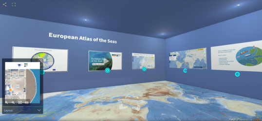 |
New: Visit the EMODnet Virtual Exhibition!
|
Latest Maps of the Week
This map shows the ratio of Marine Protected Area (MPA) and terrestrial area for each European country.
This map shows the maritime traffic on the European seas. The vessel density is expressed as the number of hours per month that ships spent in each square kilometre.
This map shows the kind of litter that is found on European beaches per category (glass, textile, metal, polymer, etc.). Time for #EUBeachCleanup!
This map shows the bathymetry, the average depth of the water column, in the European region with a resolution of 1/16 - arc minute (~ 115 metre), as well as the topography of the land or terrestrial areas.
This map shows the members of the three communities of the EU4Ocean Coalition dedicated to Ocean Literacy: the EU4Ocean Platform, the Young Ocean Advocates within the Youth4Ocean Forum and the Network of European Blue Schools.
This map shows the network of marine Natura 2000 sites across Europe.