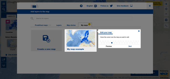
If you recall, the Pilot Phase of a new tool called ‘My Maps’ was launched a few months ago in the European Atlas of the Seas to enable everyone to create, save and edit their own maps in the Atlas. With My Maps, teachers can create their own working space in the Atlas to prepare lessons using specific maps or create map-based exercises for example.
In the framework of the Pilot Phase, an online survey was organised to collect feedback on the new tool and learn how it could be further improved to meet teachers’ needs. We received 100 responses to this survey from teachers, with some teachers working in primary schools, secondary schools and higher education. The feedback we have received has been very useful to assess how the tool is being used and what could be done to further facilitate its use and ensure it meets teachers’ needs. Some improvements have already been made and others will follow. Thank you to all of the respondents to this survey for their contribution!
The Pilot Phase has now been completed and the improved My Maps tool is ready for you to use!
Have you not tried it yet? Are you looking for information on how to use My Maps? Make sure that you watch the My Maps video tutorial and that you check out the Atlas’ interactive help tool accessible from the Atlas’ menu!
Do you have further feedback you would like to share with us? Let us know by completing the current online survey!