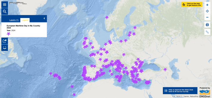
Have you seen the new ‘European Maritime Day in My Country 2024’ map layer in the European Atlas of the Seas?
In parallel to the annual European Maritime Day (EMD) conference which will take place on 30-31 May in Svendborg in Denmark (see the Map of the Week from last week), a series of local related events are organised across Europe, reaching out to young people and citizens under the ‘EMD in my Country’ label. The objective is for people to realise that activities at sea (coastal tourism, fishing, sailing, shipping, offshore renewable energy, aquaculture etc.) are key for the citizens and economies. EMD In My Country this year includes physical, virtual and hybrid events. Explore the map layer and click on the symbols to learn more about the events that are being organised near you! You will be able to see the title of each event, the date on which it is taking place, who it is organised by and you will get all the details by clicking on the link to the related webpage. Use the map to identify the events that you would like to attend! From workshops and conferences to exhibitions, excursions by boat, educational activities, beach-cleaning initiatives and many more other activities, you have a lot to choose from! Do not hesitate to zoom in to see the events in a specific region or city!
Be careful when you click on an event! You may be surprised by an image and music! As in previous European Maritime Day in My Country map layers published in the past four years, the Atlas technical team has hidden images in this year’s map layer and a game is associated with the new map layer. After the Easter Egg, the Treasure Hunt, the virtual Boat Races and the Geocaching Game, the Atlas team invites you to play a new game: the Blue Economy Challenge! The instructions to the game are available in the Atlas’ Teachers Corner. There are five hidden images in the map layer. Can you find them using the given geographical coordinates? Can you associate them with the five related sectors of the blue economy? You can play the game at school, with friends and family!
If you are a teacher, you can use the game in the classroom to help students learn about the blue economy and develop several competences including the use of digital maps, digital literacy, geographic information analysis and search for information.
Enjoy the game and the events!
The data in this map is provided by the European Commission.