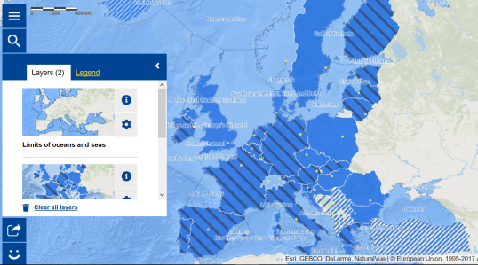
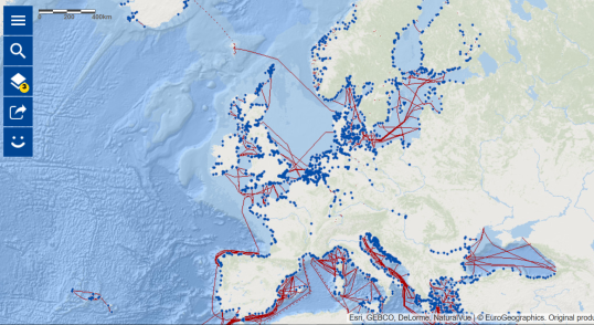
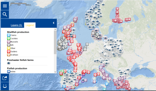
| The European Atlas of the Seas can be used for children to explore and learn about the countries of the European Union and surrounding seas in an interactive way. You can zoom in on a special area or country, export the result to a link (to use it later) or even print it. If you are working with a website, you can embed a map easily (the code can be generated from the share option). Moreover, you can play with transparency to enhance the details you want on your map, or change the background by selecting another base map. A measurement tool is available to calculate distances and areas. All this and more is explained under 'Do you need help?" in the Atlas' menu. Do not hesitate to contact us with your questions and feedback under 'Give feedback' in the Atlas' menu. |
What is a map?
A map is a diagrammatic representation of an area of land or sea showing physical features, cities, roads, etc.
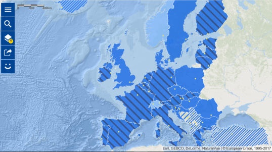
In the European Atlas of the Seas, students will be able to explore the interactive maps, explore the catalogue and find answers to many questions related to the coasts and seas of Europe.
Reading a legend
A map legend or key is a visual explanation of the symbols used on the map. It typically includes a sample of each symbol (point, line, or area), and a short description of what the symbol means.
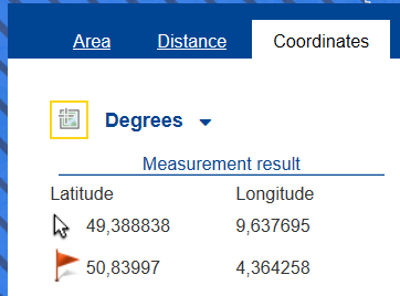
Reading coordinates
What are coordinates (longitude, latitude) and find out the coordinates of a particular location
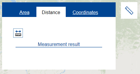
Measure distances and areas
Use the measurement tool to measure the distance between two locations
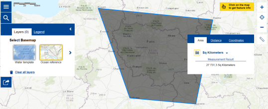
Measure a particular area on a map, e.g. define the number of square km between different cities. For this, it is easier to use the ocean reference basemap than the water template.

